Countrivo

GeoWordle

Find the hidden country in six guesses.

Play
How to play
  1. Guess any country.
  2. Each guess shows how far and which way.
  3. Use the map to narrow it down.
Scoring
  • Start with any country. Type its name and choose it from the suggestions
  • Read the distance in kilometres and follow the arrow from your guess toward the answer
  • Compare the clues from each guess to narrow down the map
  • Find the hidden country in six guesses. A new daily puzzle arrives at midnight Berlin time
See an example

How to read GeoWordle clues

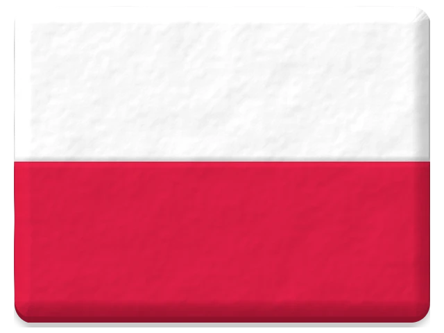
Example answer: Poland. Follow the arrow from each guess and compare distances. This fixed example uses the real game engine, separate from today’s puzzle.

Example GeoWordle guesses when Poland is the hidden country
GuessDistanceAnswer lies
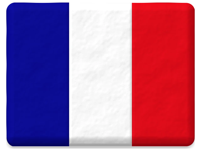
France522 kmnorth-east
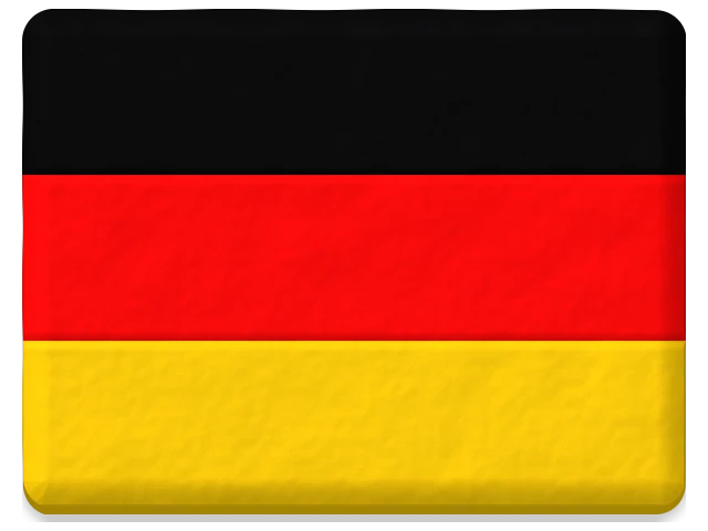
Germany0 kmeast
Poland0 kmSolved

Germany shows 0 km because it shares a border with Poland. Zero can mean a neighbour; only the correct country solves the puzzle.

Try a practice round or explore countries and neighbours.

How distance is measured

Nearest mapped borders, approximated from Natural Earth 1:50m. Territories without mapped borders use reference centres and say so. Arrows point from the guessed country’s reference centre toward the answer’s reference centre.

About GeoWordle

GeoWordle is a free geography Wordle where you guess a hidden country in six tries. Instead of matching letters, you follow distance and direction clues. A world map plots your guesses, and words such as warm or hot show how close they are. You can play in your browser on a phone, tablet or computer without an account or download.

Explore countries and neighbours or find countries on a blank map.

Questions
Do I need an account?
No. There is no login. Finish a daily game, then add a name to the leaderboard if you like.
What is Par?
Par 4 guesses is a good score to aim for. It is a reference score, not another player.
When does the board reset?
New daily boards arrive at midnight in Europe/Berlin. Everyone gets the same boards.
Can I practice?
Yes. Practice gives you fresh boards and never changes the daily leaderboard.
How do the distance and direction clues work?
Distances approximate the nearest mapped borders using Natural Earth 1:50m geometry, rounded to kilometres. Neighbours show 0 km. A territory without a mapped border uses centre distance and says so on its row. The arrow is the bearing from the guessed country's reference centre toward the answer's reference centre. Warm and hot describe distance, not the probability of being correct.
What is a good first guess?
Start with a country you can place confidently on the map. Use both the distance and the arrow to choose your next region, then compare all your clues. If a guess is thousands of kilometres away, move to the indicated region before trying neighbouring countries.
Yesterday’s answers

Yesterday’s answers

2026-11-01 · The daily boards have closed, so the answers are open.

More games